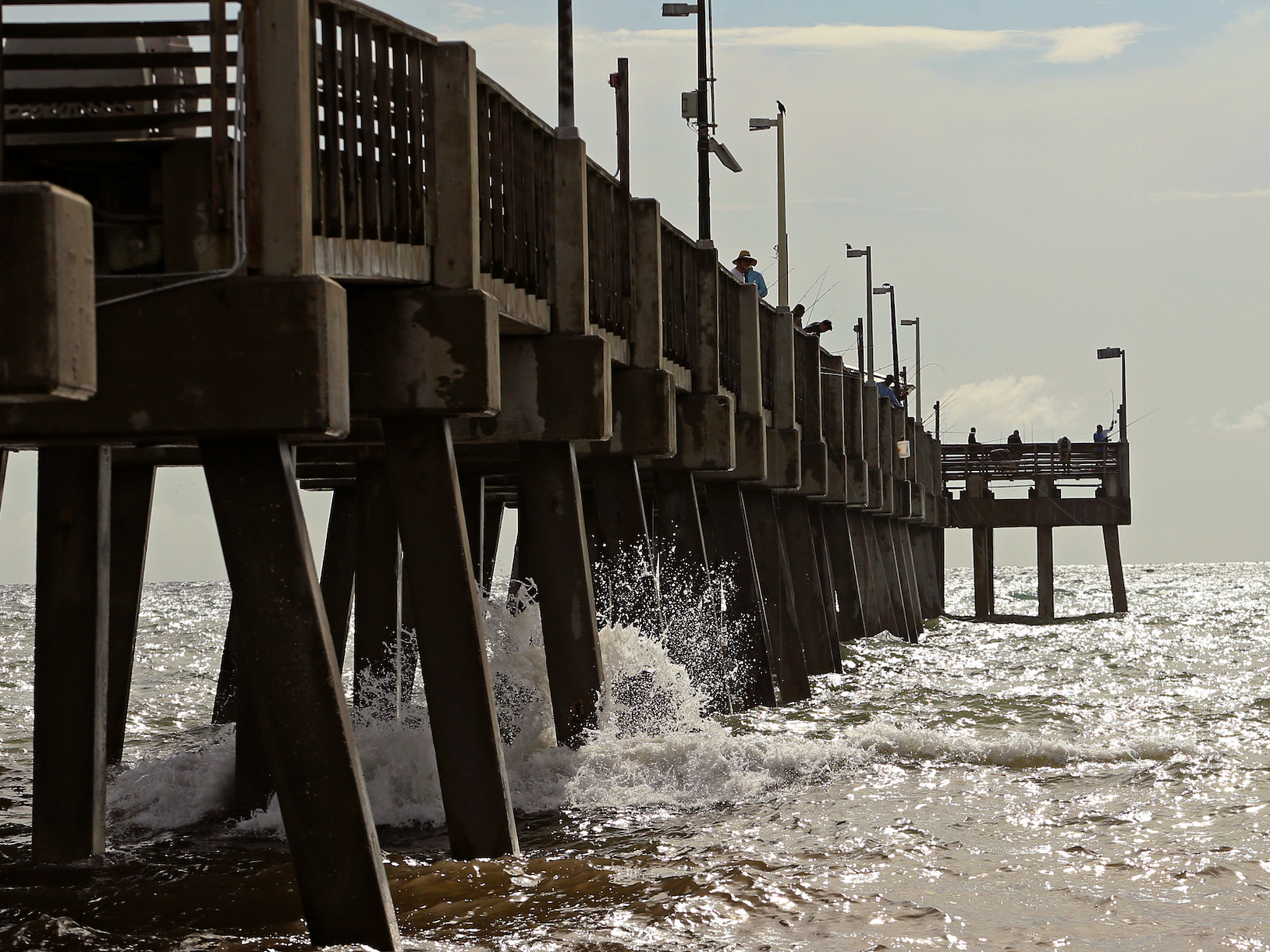
- Hurricane Dorian hit the Bahamas on Sunday as a Category 5 storm. With sustained wind speeds of 185 mph when it reached the Bahamas, Dorian was on par with the strongest Atlantic hurricane landfall ever. It brought up to 23 feet of storm surge in some areas.
- Dorian later weakened to a Category 4 storm and was expected to move toward the Florida coast on Tuesday night through Wednesday evening and then turn north and bring heavy rains, winds, and possible storm surge to parts of Georgia and South Carolina, according to the National Hurricane Center’s forecast as of 8 p.m. ET on Monday.
- A storm surge is when hurricanes or tropical storms push the water level above the expected tides.
- Dorian’s storm surge could flood coastal communities in Florida, Georgia, and South Carolina with up to 7 feet of water, according to the NHC.
- Visit Insider’s homepage for more stories.
Hurricane Dorian made landfall in the Bahamas on Sunday as a Category 5 storm, pummeling parts of the Great Abaco and Grand Bahama islands with heavy rains, strong winds, and flooding of up to 23 feet of water.
Much of that flooding comes from the storm surge, which isn’t reflected in the measurement of a hurricane’s intensity, though it is a major cause of damage and danger.
A storm surge occurs when large storms like Dorian raise water levels above the predicted tide. The term indicates the change in water level that’s caused by the storm, according to the National Hurricane Center.
As of 8 p.m. ET on Monday, the NHC projected Dorian would move toward Florida on Tuesday night through Wednesday evening and then turn north and make its way up the coast toward Georgia and South Carolina. As it does, it is likely to bring on a storm surge.
A storm-surge warning, indicating the NHC anticipates a life-threatening surge in the next 36 hours, was in effect for the southeastern coast from Lantana, located just south of West Palm Beach, up to Altamaha Sound about halfway up Georgia's coast. A storm-surge watch, indicating the possibility of a life-threatening storm surge within the next 48 hours, was in place for Deerfield Beach in Florida, south of Lantana, and continued north to the South Santee River in South Carolina.
Here's is the 5 pm @NHC_Surge forecast for #Dorian: Water could reach these heights above ground if peak surge occurs at the time of high tide:
Storm Surge Warning extended N to Altamaha Sound Georgia. Storm Surge Watch extended N to South Santee River South Carolina. pic.twitter.com/QA6pN58Tji
— National Hurricane Center (@NHC_Atlantic) September 2, 2019
If Dorian arrives during high tide, coastal communities in Florida, Georgia, and South Carolina could be flooded with 4 to 7 feet of water.
Here's how a storm surge happens and why it's so dangerous.
Storm surge comes from stirred-up ocean water

Hurricanes are large low-pressure systems that create a cyclonic wind effect. Those winds force ocean water to spin down into the water column, creating vertical circulation in the ocean below. In deep water, this circulation is not disturbed, but once the hurricane reaches shallow coastal waters, the ocean bottom interrupts this cycling. Unable to go down, the water pushes out onto the land.

This generally happens where the hurricane's winds blow toward the shore, pushing the surge of water in that direction. The highest storm surge tends to occur with the hurricane's strongest winds.
Storm surges can force water levels to rise as rapidly as a few feet a minute, according to the Coastal Emergency Risks Assessment.
Here's a visualization of how storm surge can quickly become the deadliest threat associated with a hurricane.#HurricaneDorian has brought devastating storm surge to the Bahamas as it continues to churn over the area as a Category 5 storm. pic.twitter.com/uSEXyKZnio
— The Weather Network (@weathernetwork) September 2, 2019
A storm surge can arrive before a hurricane's winds do, closing off roads and cutting evacuations short.
Heavy rainfall can compound the effects of a storm surge, dumping more water on top of the ocean surge. That was especially true of Hurricane Florence, which drenched the Carolinas last year, and Hurricane Harvey, which flooded parts of Texas in 2017.

Hurricane Dorian's rainfall is not expected to be as high as either of those storms. The NHC projects 4 to 8 inches of rain along the coast of Florida and Georgia, with some areas experiencing 10 inches, and up to 15 inches of rain in the coastal Carolinas.
Read more: Hurricanes and typhoons are becoming 'sluggish' - and that makes them more destructive
That's still enough rainfall to cause life-threatening flash floods through Friday, according to the NHC.
Larger, stronger, faster storms generally produce higher storm surge. Hurricane Dorian, though moving slowly, hit the Bahamas as a Category 5 storm with 185 mph sustained wind speeds, putting it on par with the strongest storm ever to make landfall in the Atlantic. As of Monday evening, it was still an "extremely powerful" Category 4 hurricane as it moved toward the US coast, according to the NHC.
Hurricanes are becoming more sluggish, allowing them to drop more rain and cause more flooding. Over the past 70 years or so, the speed of hurricanes and tropical storms has slowed about 10% on average, according to a 2018 study.
As the Earth's oceans and air get warmer - last year was the hottest on record for the planet's oceans - tropical storms overall are getting stronger, wetter, and slower.
